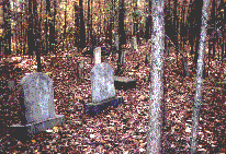
Located 1-2 miles North of Myrtle on C. R. 71
S8-T6-R2
Amaziah
Located in Hickory Flat. S17-T6-R1
Ayers
Cemetery (abandoned)

Located 1-2 miles North
of Myrtle on C. R. 71
S8-T6-R2
Baker
Church Cemetery (abandoned)
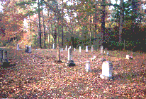
Located just off of Hwy 30, 3 miles
east of New Albany.
S36-T6-R3
Barnett
Cemetery (abandoned)
Located north of C.R. 2, 2 miles northwest
of Myrtle, just off old Hwy 78.
S2-T6-R1
Bartlett
Cemetery (abandoned)
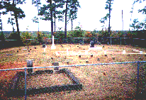
Located 15-16 miles Northeast of New
Albany on a
side road off of C. R. 260. NW
1/2 S8-T6-R5
Bell
Located east of New Albany. S8-T7-R4
Bethel (abandoned)
Located in Etta. S15-T8-R1
Bethlehem
Located in Etta. S17-T6-R3
Beulah
Cemetery
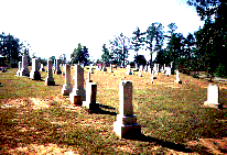
Located 5-6 miles Northwest of New
Albany on C.R. 72
S4-T6-R2
Blue
Springs Cemetery (abandoned)
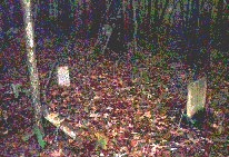
Located off of C.R. 278 seven miles
Southeast of New Albany.
Bordoc
Cemetery
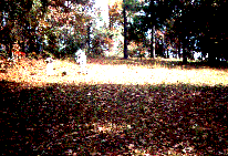
Located just South of Hwy 78
on C.R. 67, 2-3 miles west of New Albany. This is a small family
type cemetery. There were also several unreadable metal markers and a couple
of unmarked sunken graves.
Candy
Hill Cemetery
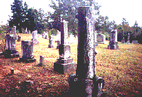
Located South of Hwy 78W on C.R.515,
5-6 miles West of New Albany
S30-T6-R2
Center Baptist Church Cemetery
Located near the Church east of New Albany.
Concord (abandoned)
Located in Keownville. S15-T6-R3
County
Road 108 Cemetery (abandoned)
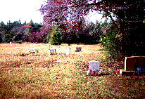
Located east of Hwy 15 S on C.R.108,
3 miles Southeast of New Albany
County Road 515, (abandoned)
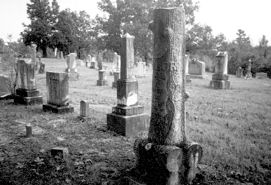
Located South of Hwy 78W on C.R.515, 5-6 miles West of New Albany
(name is unknown)
Damascus
(abandoned)
CR 171, About 1/4 Mile
East of Alpine Community. S7-T7-R3
Davis (abandoned)
Located in Myrtle. S31-T6-R3
Doxey (abandoned)
Located east of New Albany. S11-T8-R3
Duncan (abandoned)
Located near Keownville. S2-T7-R3
Dunlap (abandoned)
Located in Center Community, east of New Albany. S2-T7-R4
Ebenezer
Methodist Church Cemetery
S9-T6-R1
Ellistown
Cemetery
Located in Ellistown. S24-T7-R4
Fairfield
Presbyterian Church Cemetery
Located 3 miles Northeast of Blue Springs
on C.R. 197, S2-T8-R4
Folsom
Cemetery (abandoned)
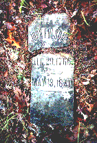
Located 200 yards South
of C.R. 355, 3-4 miles
southeast of Enterprise.
S33-T7-R1
Friendship
Cemetery
Located off Hwy 30 West,
8 miles West of New Albany. S15-T7-R1
Gerzium
Cemetery
Located just North of Myrtle on C.
R. 71, S26-T7-R3
Givens (abandoned)
Glenfield
Memorial
Glenfield
Cemetery Photographs
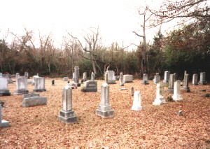
920 W. Bankhead Street, New Albany, MS
Hall
Road Cemetery (abandoned)
Located 3 miles Northeast of Keownville
on Hall Road. S7-T6-R4
Hwy 30 East (abandoned)
Located just off of Hwy 30, 3 miles
east of New Albany
(Name is unknown)
Hopewell
Presbyterian Church Cemetery
Located east of New Albany. S24-T7-R3
Hoyle(abandoned)
Located east of New Albany. S4-T8-R3
Ingomar
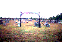
Located 4-5 miles South of New Albany on C.R. 90. S7-T8-R3
Jericho
Located on C R 171 in southeast Union County. About one mile west of
Prentiss County line and about 1 mile north of Lee County line.
Jones Memorial (Liberty)
Located in Ellistown. S32-T7-R5
Lebanon (abandoned)
Located east of New Albany. S14-T7-R3
Liberty Cemetery
Located east of New Albany. S10-T8-R3
Locust Grove
Hwy 30 E North of Locust Grove Baptist Church.
Macedonia
Located in Hickory Flat. S5-T7-R1
McAllister (abandoned)
Located at Myrtle.
McGraw (abandoned)
Miears
Cemetery (abandoned)

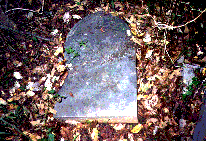
Located North of Hwy 348 on CR 124,
3-4 Miles East of New Albany. S12-T7-R3
Milsap
Cemetery (abandoned)
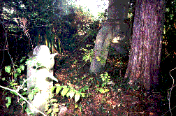
Located East of Hwy 15 S on CR 108,
6 miles South of New Albany, S15-T8-R3.
This Cemetery is located next to an old barn and has been abandoned
for years.
Mt.
Gilead
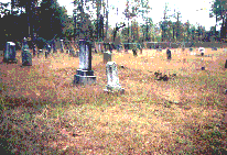
Located 6-7 miles Southeast of New
Albany on C.R. 214, S28-T7-R4
Mt.
Oliviet United Methodist Church Cemetery (est. 1854)
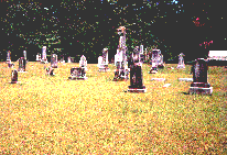
Located 2 miles Northeast of Keownville
on CR 157,
S16-T6S-R4E
Mt.
Pisgah Cemetery (Darden Family)
Located 8-9 miles West
of New Albany off of Hwy 30 at the end of C.R.27.
Also known as the "Darden"
cemetery by some folks.
S11-T7-R1
Mt.
Zion Cemetery
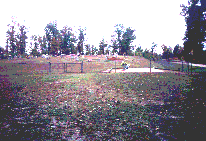
Located 14-15 miles Northwest of New
Albany on C.R. 164, S8-T6-R5
New Albany
Cemetery
Located west of New Albany. S8-T7-R3
New Harmony
Located east of New Albany. S7-T8-R4
New
Hope Cemetery (abandoned)
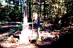
Located North of Hwy 348 East on CR
183, 10-11 Miles East of New Albany. S18-T7-R5
New Oak Grove
Located in Hickory Flat. S25-T6-R1
Oak Plain
Located east of New Albany. S8-T7-R4
Oak
View Baptist Church Cemetery
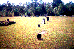
Located 5-6 miles East of New Albany
on CR 171
Old Fredonia (Cornwall) (abandoned)
Old Oak Grove
Located at Hickory Flat. S31-T6-R2
Parks (abandoned)
Pass (abandoned)
Located at Etta. S5-T7-R1
Pilcher
Cemetery (abandoned)
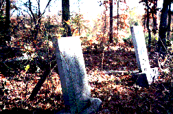
Located 1/4 mile North of C.R. 32 one
mile East of Pinedale. This cemetery is at the end of an old field
road on a small
hill. The cemetery only contained 2 stones, apparently husband
and wife.
Pine Pole (abandoned)
S1-T7-R1
Pleasant
Ridge
Located hwy 30
East of New Albany. About 250 unmarked graves, some Markers were
destroyed by the Tornado in 1920's.
Salem
Located at Etta.
Snyder/Snider
Family Cemetery (abandoned)
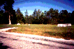
Located South of Hwy 30 on C.R. 126,
2-3 miles East of New Albany.
Stacks Cemetery (abandoned)
Located in Center Community. S6-T7-R4
Stone (abandoned)
Located east of New Albany. S20-T7-R4
Union
Hill Cemetery
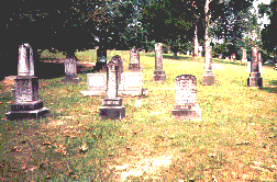
Located 4-5 miles West of New Albany
on
CR 60. S8-T7-R2
Vista Memorial
Hwy 15 S., New Albany, MS
Wallerville
Baptist Church Cemetery
S26-T7-R3
Wells
Chapel
Located at Keownville. S6-T6-R4
Wilkins
Located east of New Albany. S28-T7-R3
Zion
Hill Baptist Church Cemetery
Located on county road 183. S1-T7-R4
These records include the listings of Old Zion Hill Cemetery located
across the road from the Zion Hill Baptist Church.
Miscellaneous Pictures of Graves
Unknown Convict Grave
Oldest Known Gravestone
in Union County
Melissa McCoy-Bell
Union County MSGenWeb Coordinator
mccoybel@bellsouth.net
© 2002, by Melissa McCoy-Bell. All rights reserved.