|
State Maps
Click on thumbnail to see full image.
|
|
YEAR
|
THUMBNAIL
|
DESCRIPTION
|
IMAGE SOURCE
|
|
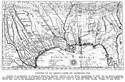
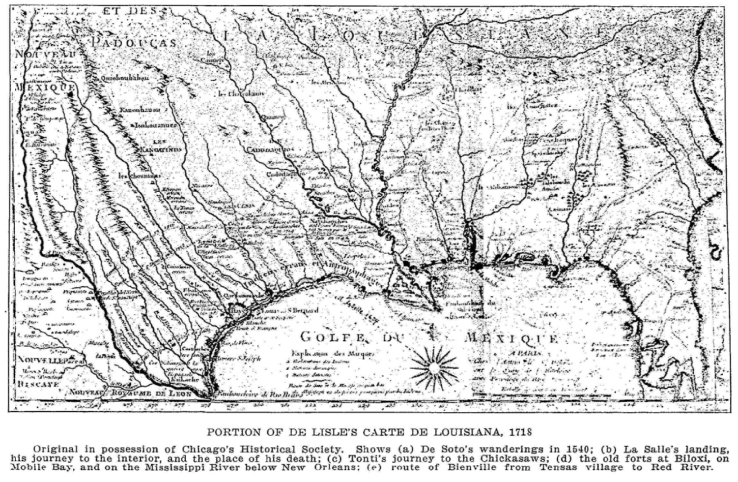
1718
|
|
Portion of De Lisle's Carte de Louisana,
1718 -
Original in possession of Chicago's Historical
Society. Shows (a) De Soto's wanderings in 1540; (b) La Salle's
Landing, his journey to the interior, and the place of his death; (c)
Tonti's journey to the Chickasaws; (d) the old forts at Biloxi on Mobile
Bay and on the Mississippi River below New Orleans; (e) route of Bienville
from Tensas River to Red River.
|
MSGenWeb
Mississippi The Heart of the South - By Dunbar Rowland, LL.D - Director of the Mississippi State
Department of Archives and History. Vol. II Illustrated.
Chicago-Jackson; The S. J. Clarke Publishing Company, 1925. Public
Domain
|
|
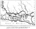
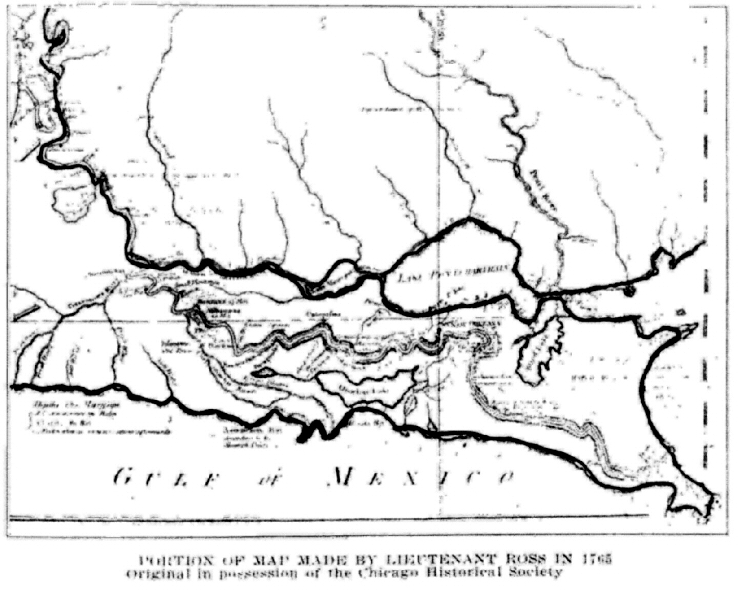
1765
|
|
Portion of map by Lieutenant Ross in
1765.
Original in possession of Chicago Historical
Society
|
MSGenWeb
Mississippi The Heart of the South - By Dunbar Rowland, LL.D - Director of the Mississippi State
Department of Archives and History. Vol. II Illustrated.
Chicago-Jackson; The S. J. Clarke Publishing Company, 1925. Public
Domain
|
|
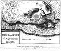
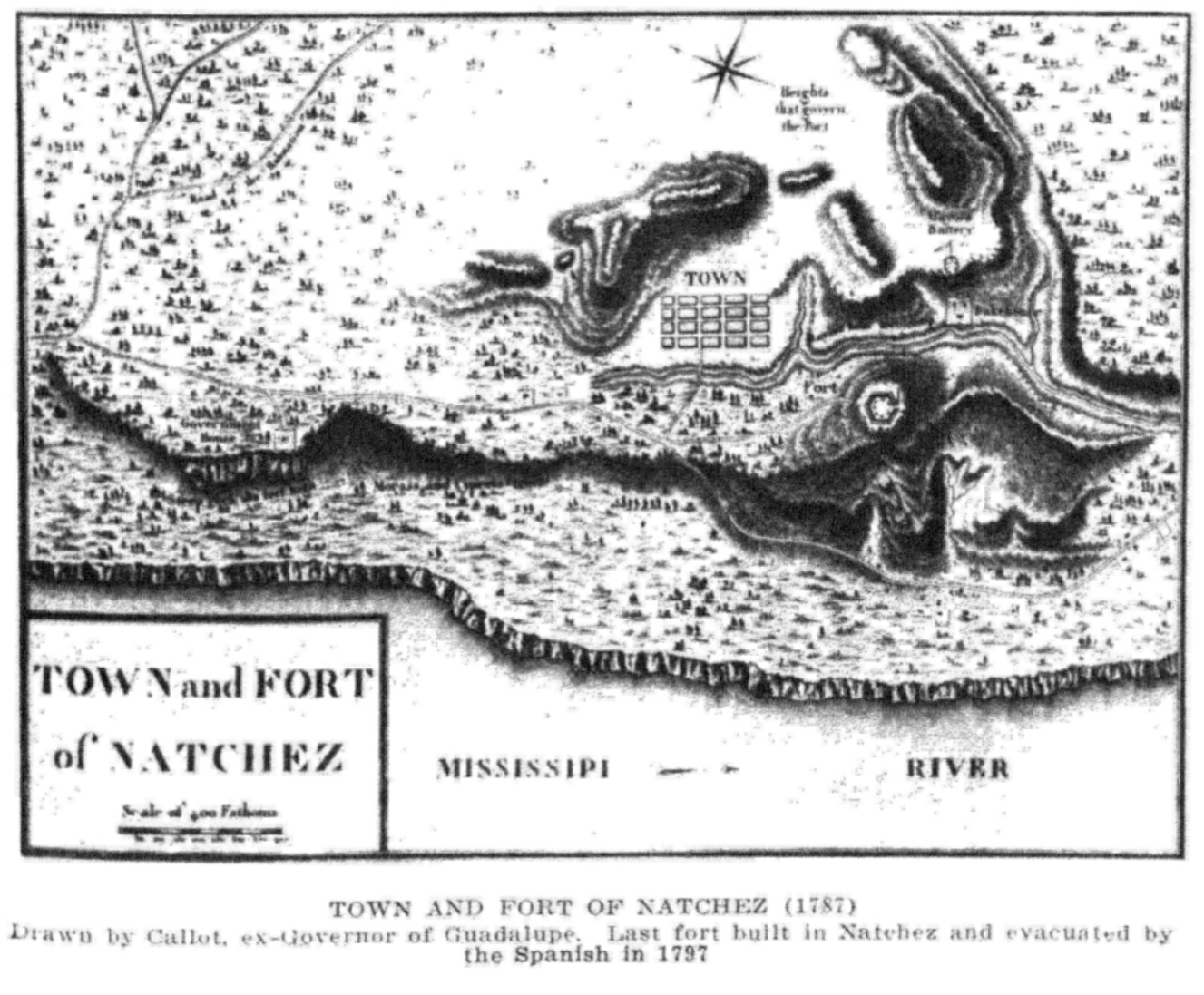
1787
|
|
Town and Fort of Natchez -
Drawn by Callot, ex-governor of Guadalupe, last
fort built in Natchez and evacuated by the Spanish in 1797.
|
MSGenWeb
Mississippi The Heart of the South - By Dunbar Rowland, LL.D - Director of the Mississippi State
Department of Archives and History. Vol. II Illustrated.
Chicago-Jackson; The S. J. Clarke Publishing Company, 1925. Public
Domain
|
|
1772
|
Off-Site
Link
Use the "back" feature of your
browser to return to this page.
|
Bernard Roman's Mississippi Map of 1772
|
Mississippi
Genealogical and Historical Research
|
|
1814
|
Off-Site
Link
Use the "back" feature of your
browser to return to this page.
|
Mississippi Territory
|
Hargrett
Rare Book and Manuscript Library
|
|
1816
|
Off-Site Link
Use the "back" feature of your
browser to return to this page.
|
Mississippi Territory Map
Published by Lucas, ca. 1816
|
Department of Geography
University of Alabama
U of A Map Library
|
|
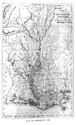
1820
|
|
State of Mississippi
Map of Mississippi constructed from the
surveys in the General Land Office and other documents.
|
From the Library of Congress.
Map constructed by John Melish.
|
|
1822
|
|
State of Mississippi
Showing existent towns, counties,
Chickasaw and Choctaw lands.
Published by A. Findley, Philadelphia
|
Mississippi Digital Map Library
USGenWeb Archives
State Map Coordinator, Richard P. Sevier
|
|
1822
|
|
Early Statehood Map
Published by Finley, ca. 1822
|
David Rumsey Maps Collection, Cartography Associates.
|
|
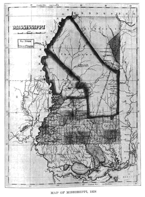
1824
|

|
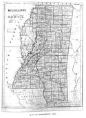
State of Mississippi
|
MSGenWeb
Mississippi The Heart of the South - By Dunbar Rowland, LL.D - Director of the Mississippi State
Department of Archives and History. Vol. II Illustrated.
Chicago-Jackson; The S. J. Clarke Publishing Company, 1925. Public
Domain
|
|
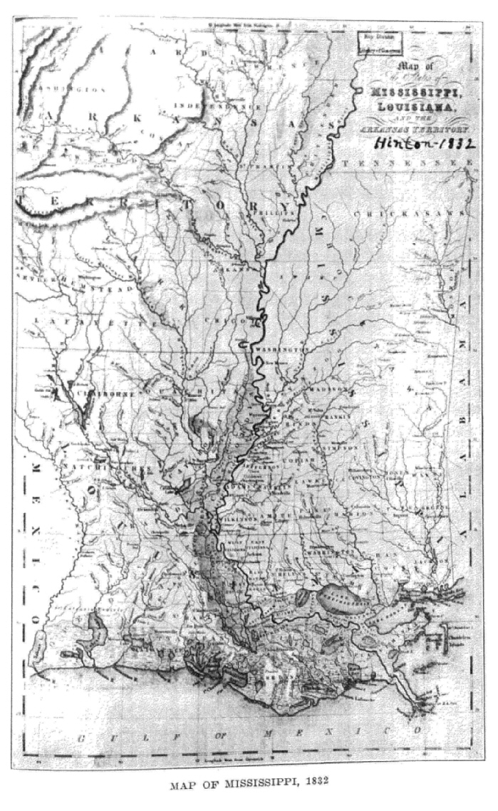
1832
|
|
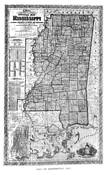
State of Mississippi
|
MSGenWeb
Mississippi The Heart of the South - By Dunbar Rowland, LL.D - Director of the Mississippi State
Department of Archives and History. Vol. II Illustrated.
Chicago-Jackson; The S. J. Clarke Publishing Company, 1925. Public
Domain
|
|
1842
|
|
State of Mississippi
|
MSGenWeb
Mississippi The Heart of the South - By Dunbar Rowland, LL.D - Director of the Mississippi State Department
of Archives and History. Vol. II Illustrated.
Chicago-Jackson; The S. J. Clarke Publishing Company, 1925. Public
Domain
|
|
1852
|
|
Steamboat maps. Designed for
travelers. Shows distances, landings
and some landowners.
|
Mississippi Digital Map Library
USGenWeb Archives
State Map Coordinator, Richard P. Sevier
|
|
1872
|
|
State of Mississippi
|
MSGenWeb
Mississippi The Heart of the South - By Dunbar Rowland, LL.D - Director of the Mississippi State
Department of Archives and History. Vol. II Illustrated.
Chicago-Jackson; The S. J. Clarke Publishing Company, 1925. Public
Domain
|
|
1873
|
Off-Site
Link
Use
the "back" feature of your browser to return to this page.
|
Reconstruction Period Map
Published by Gray, ca. 1873
|
Mississippi Digital Map Library
USGenWeb Archives
State Map Coordinator, Richard P. Sevier
|
|
1899
|
Off-Site Link
Use
the "back" feature of your browser to return to this page.
|
Indian Land Cessions
|
Indian Land Cessions in the United States. U.S. Government Printing Office, 1899.
|
|
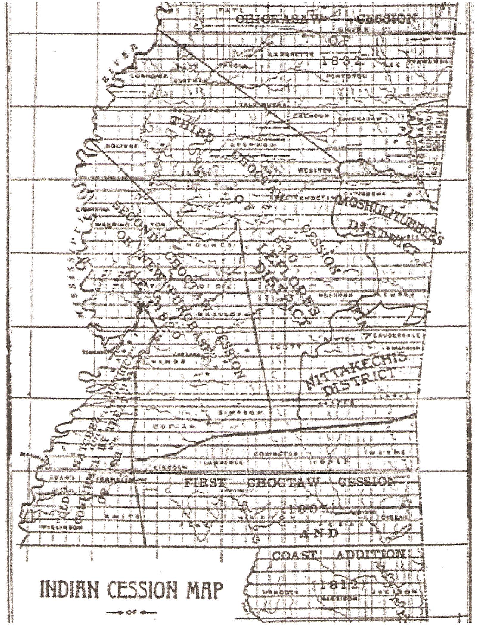
1801-1832
New
|
Indian Cession
Map
|
Map of Indian land cessions between the years of 1801-1802
|
Jeff Kemp
|


