|
|||
|

|
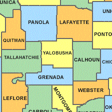
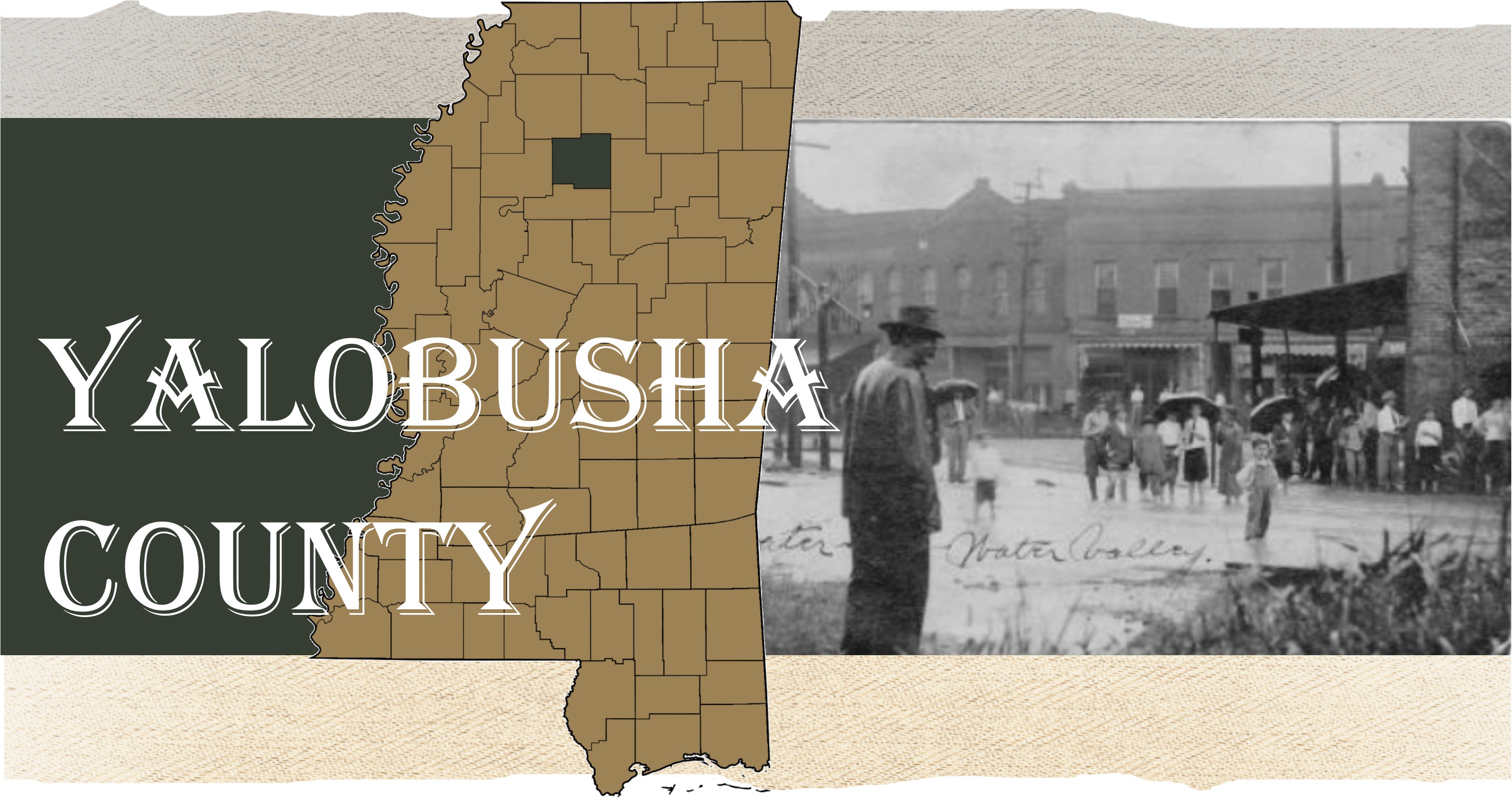
History of Yalobusha CountyIts name "Yalobusha" is an Indian word, meaning "tadpole place", and was suggested by the river of the same name which waters its territory. In 1816, General Andrew Jackson ordered the surveying of the Choctaw-Chickasaw Line. The line as surveyed then cut almost a perfect diagonal across the area making up the present day Yalobusha County. The Choctaws ceded their Mississippi lands to the United States in 1830 through the Treaty of Dancing Rabbit Creek. Two years later, the Chickasaw signed the Treaty of Pontotoc, ceding their lands to the United States. Yalobusha County was established December 23rd, 1833, and most of its area lies within the territory acquired from the Choctaw Indians in the treaty of Dancing Rabbit, 1830. The county seat was located at Coffeeville, March 27, 1834, and the place received its name in honor of General John Coffee. The first county court was held the same year, presided over by Judge Matthew Clinton. It was originally a large county, containing an area of 25 townships or 900 square miles, but surrendered part of its territory to Calhoun county in 1852, and a large part of its southern area to Grenada, when that county was created in 1870. Emigration was rapid into this region during the [18]30's and early [18]40's, from the older states on the east and north and from the older settled parts of Mississippi. By the year 1840, there were 12,248 people in the county. Three of the earliest settlements in the county were Hendersonville, Sardinia and Preston, all of which are now extinct. Presently, Yalobusha covers 467 square miles and is the 55th largest county in Mississippi by area. The total population as of 2019 is 12,367 with Water Valley being the largest town with 3,323 residents. The county has two county seats, Water Valley and Coffeeville.
Encyclopedia of Mississippi History: Comprising Sketches of Counties, Towns, Events, Institutions and Persons, Vol. 2 by Dunbar Rowland 1907. Online here U.S. Census Bureau; American Community Survey, 2019 American Community 5-Year Estimates, Table DP05; generated by Monique Young; Online here "Yalobusha County, Mississippi." Wikipedia, Wikimedia Foundation, 31 Dec. 2020, Online here. |
||
|
Please contact one of the MSGenWeb Coordinators regarding questions, suggestions, or comments about this website.
Last updated Sunday, 12-Feb-2023 01:43:13 CST |
|||