Clay County Maps and Geographical Resources

Historic Map Collection

Click Thumbnail Image for Full Size Map


Other Maps and Geographical Resources

Looking for a location in Clay County? If so try the USGS GNIS database. Contains information on cemeteries, creeks, post offices and much more!
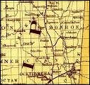
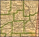
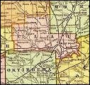
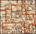
1895 Atlas for Clay County from Livingston, MI Genealogy site

Perry-Castañeda Library Map Collection: Mississippi Maps (at University of Texas)

Rare Map Collection: Colonial America (at University of Georgia) - includes links to other periods


The Clay County, Mississippi USGenWeb Site


Jeff Kemp , MSGenWeb State Coordinator


The header banner was designed by Bob Franks, former CC, Clay County. Last Modified On Sunday, 02-Nov-2008 14:06:30 CST .
Copyright © 2002 Bob Franks;
Copyright © 2003-2006 by Lori Thornton;
Copyright © 2006 by Heather Pearce Smith.
Copyright © 2008 by Everette Carr
Copyright © 2008 MSGenWeb

Photographs included in the header banner are courtesy of the Library of Congress, Prints and Photographs Division

Back to Clay County, Mississippi MSGenWeb Project  Contents Page