|
Bolivar County GenWeb |
||
|
Unnamed Cemetery at
Wrights Crossing |
||
|
GPS Coordinates 33 53 38 90 57 18 |
||
|
Highway 1 between
Rosedale and Gunnison. Turn east on |
||
|
Wrights Crossing
(Cottonwood Road) road, travel to a few feet short of the sharp |
||
|
right turn. Cemetery is on left. |
||
|
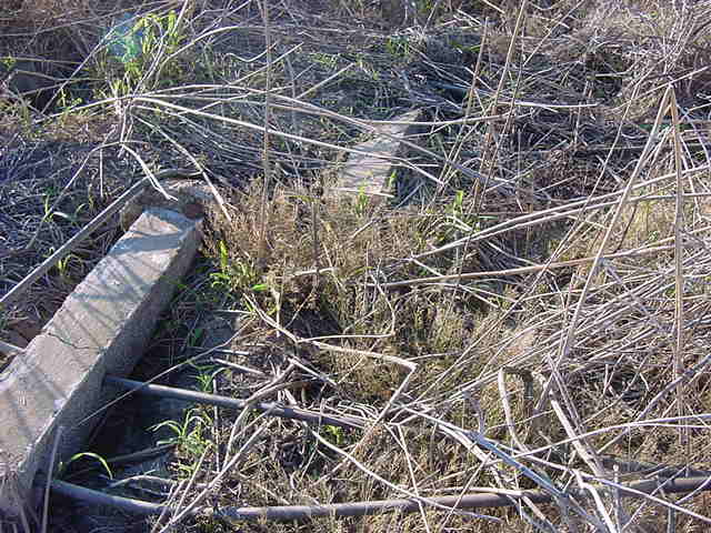
This cemetery is in
the middle of a farmer's field on the north |
||
|
side of the
road. We could find only the four
graves in the |
||
|
overgrowth that is
being farmed around. There were other |
||
|
sunken spots. Some people remember that a store was once |
||
|
located in the area,
and possibly a church also. It was
once a |
||
|
railroad stop on the
Peavine Railroad. |
||
|
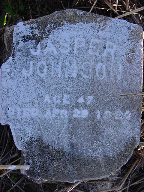
Jasper |
||
|
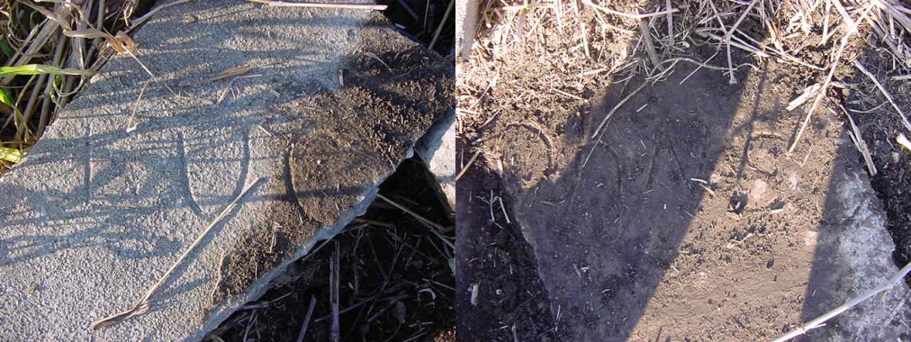
Lucy |
||
|
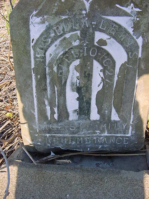
Ella |
||
|
East side |
||
|
West side |
||